Carlton, Oregon
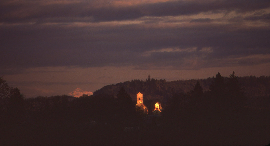
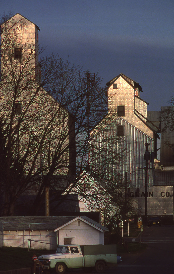
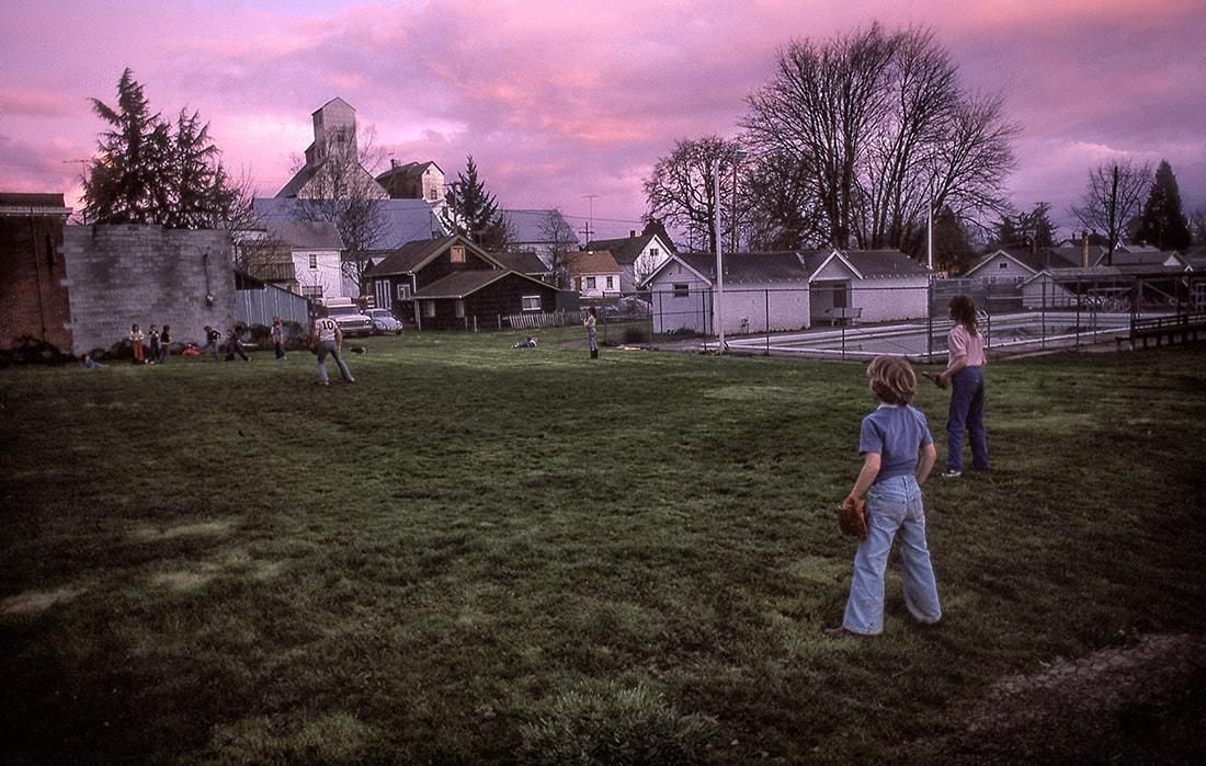
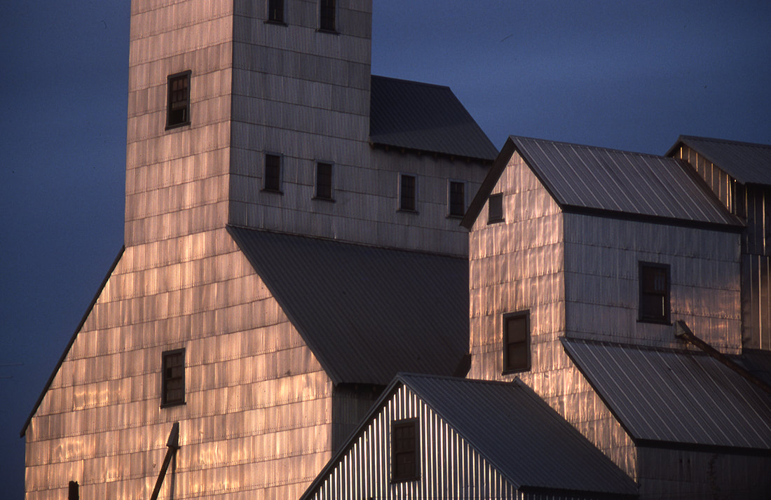
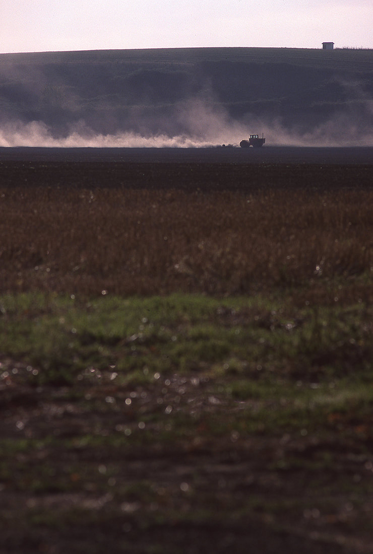
Madsen Grain elevators seen from a distance to the west of Carlton, Oregon. Mount Hood is in the background.
|
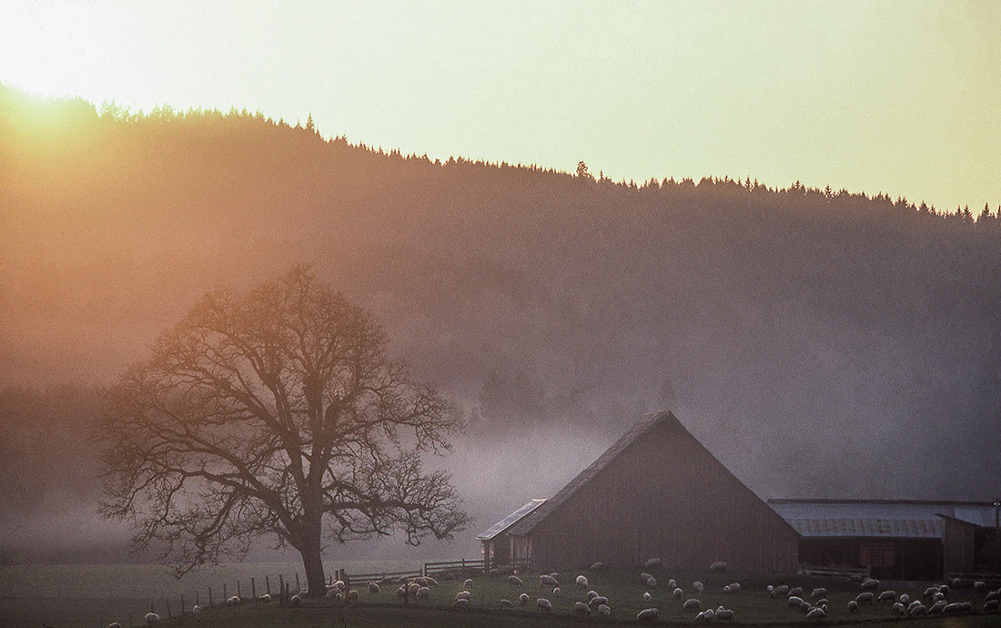
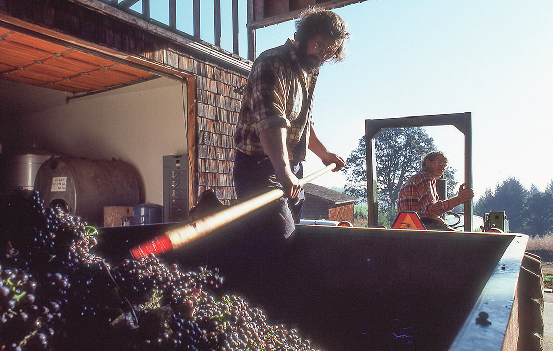
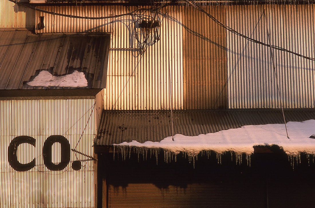
This is the first of a number of "vintage" additions to the website. They are photos taken pre-digital age.
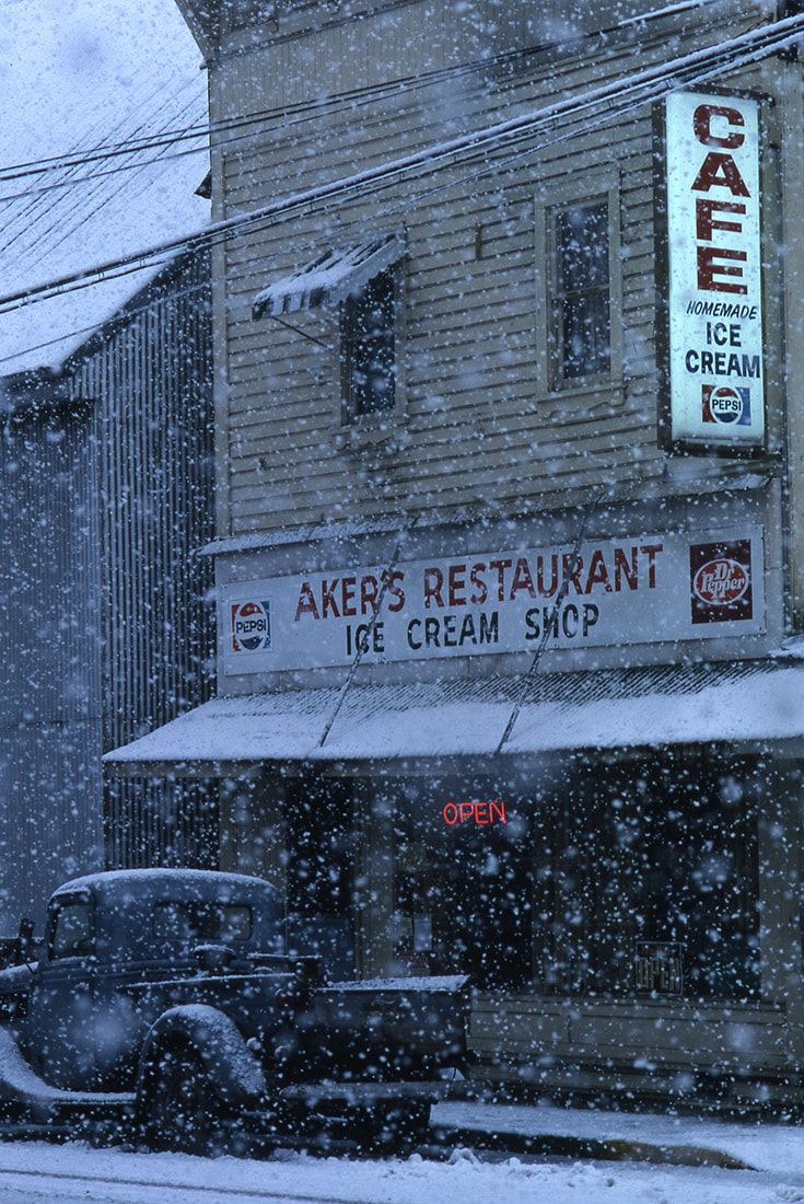
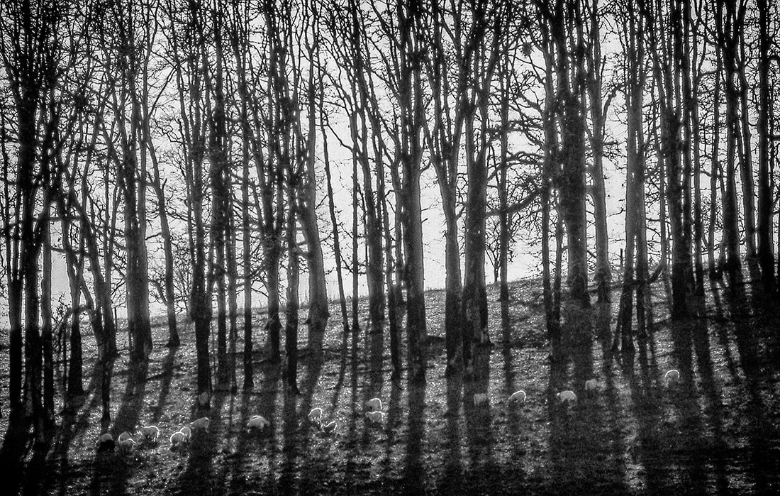
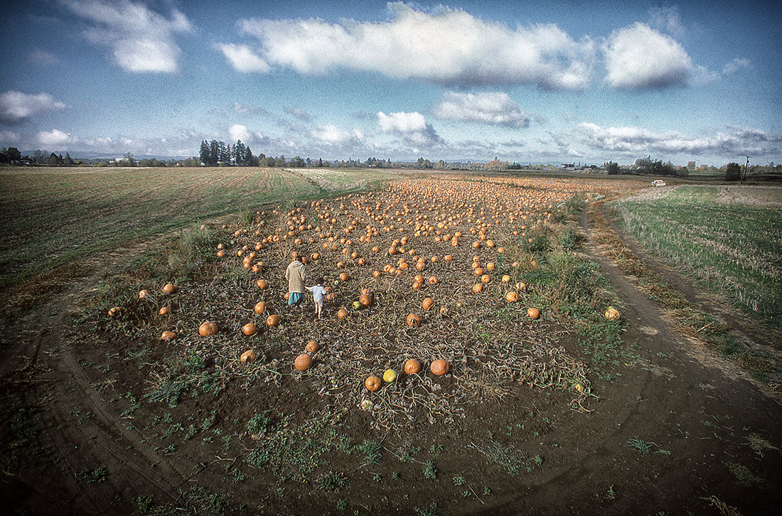
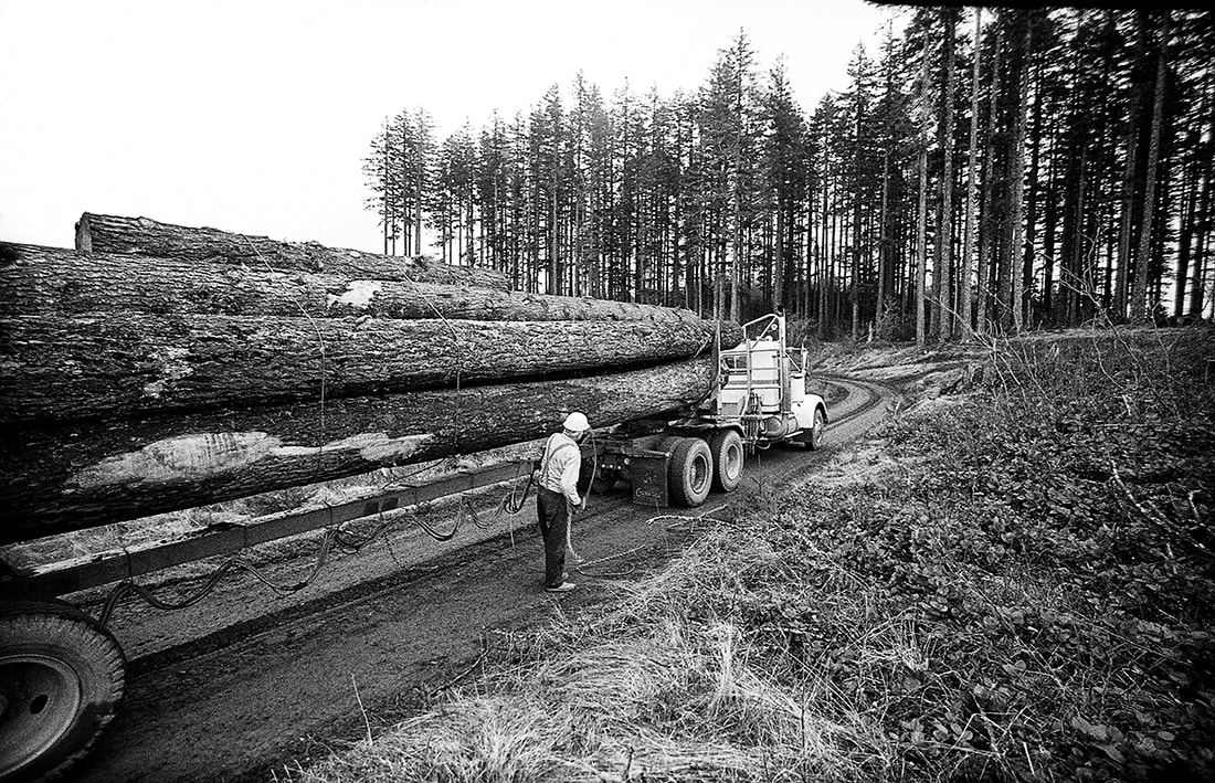
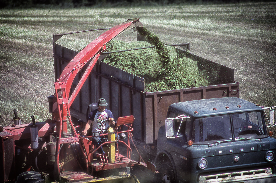
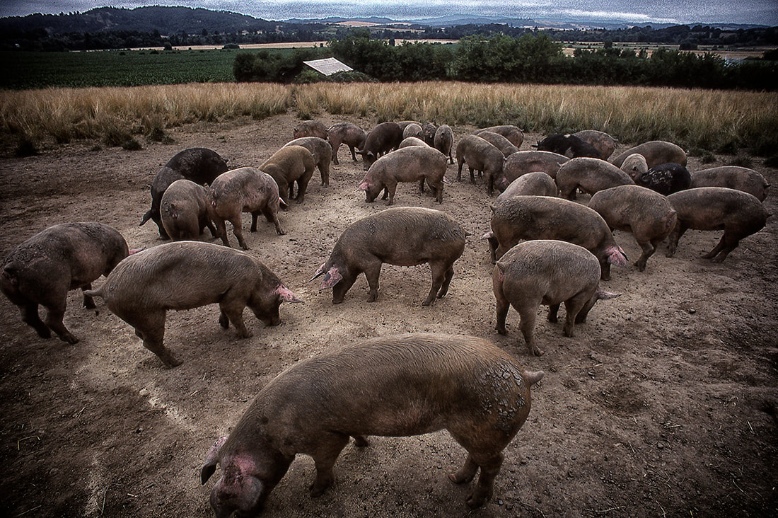
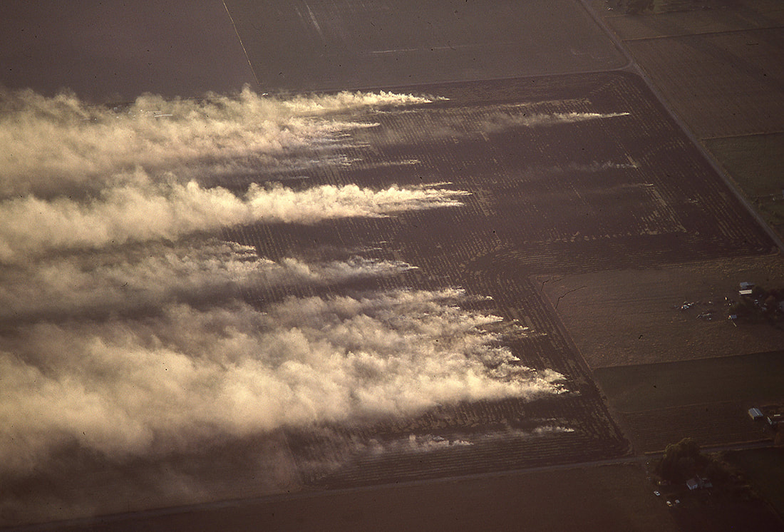
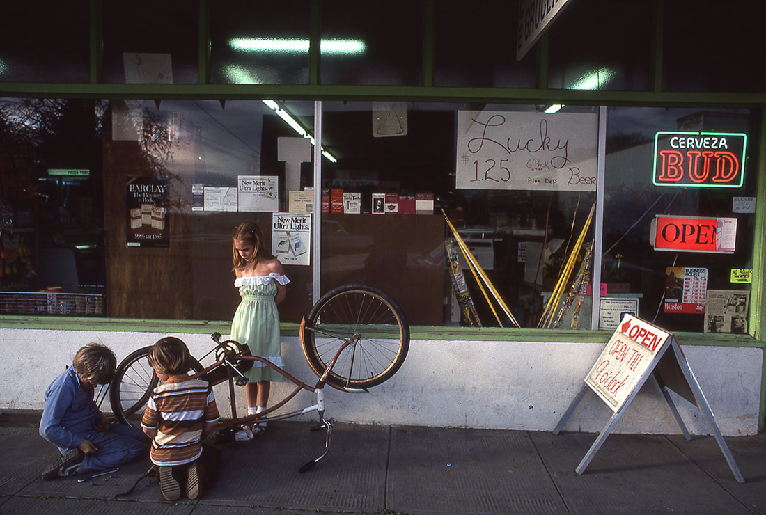
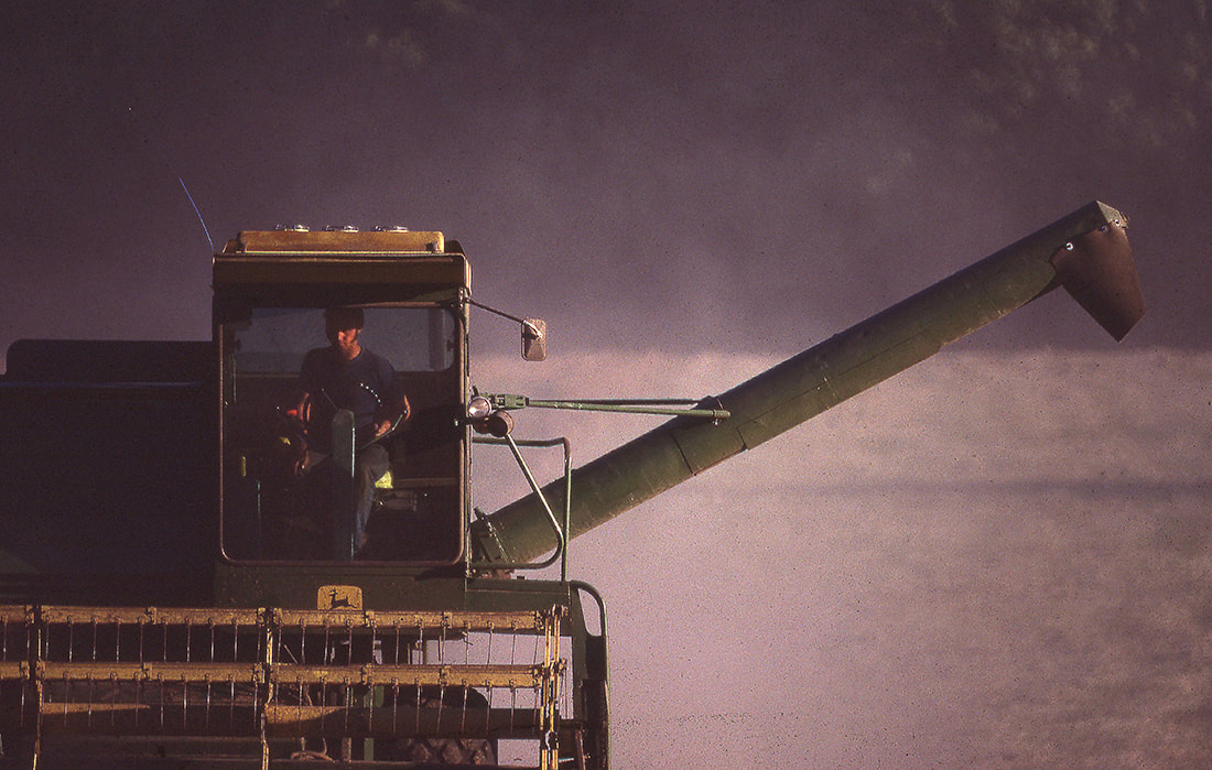
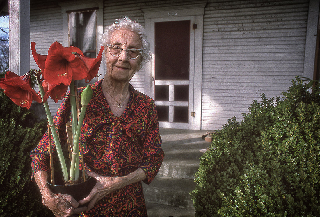
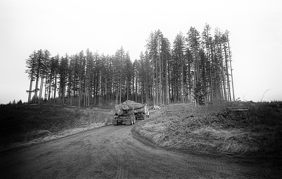
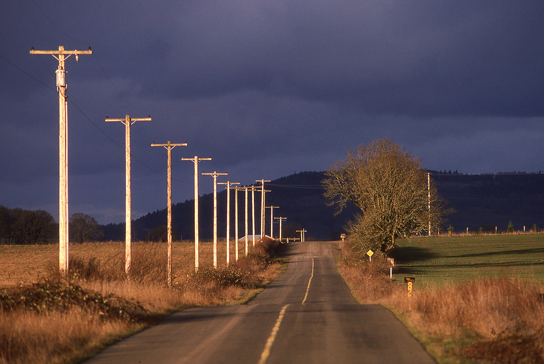
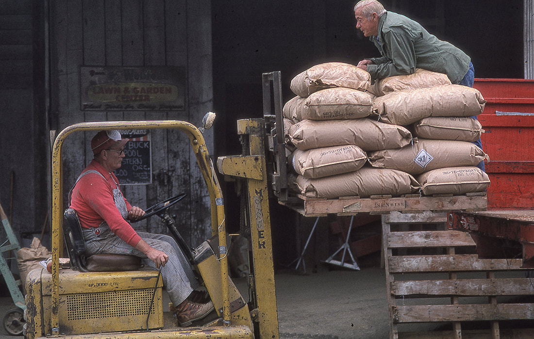
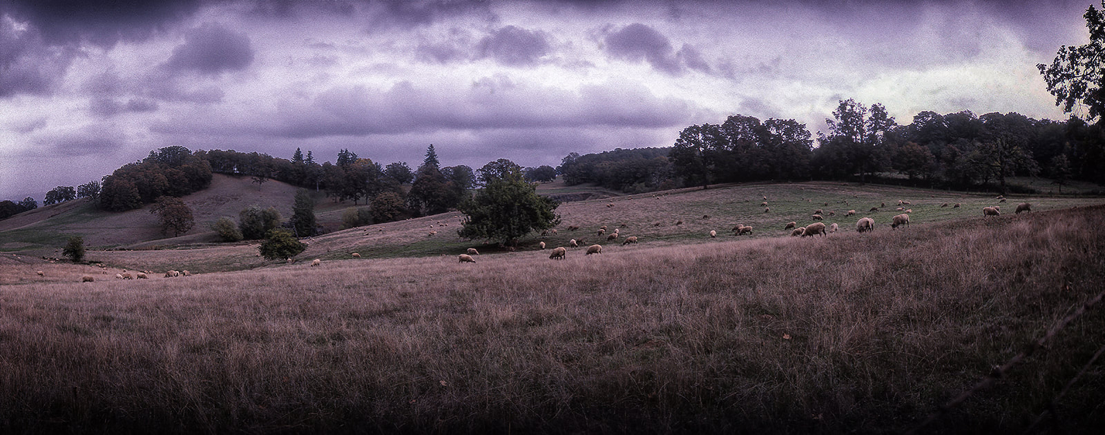
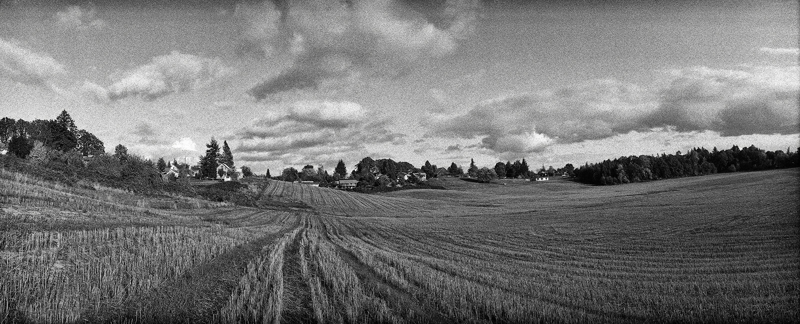
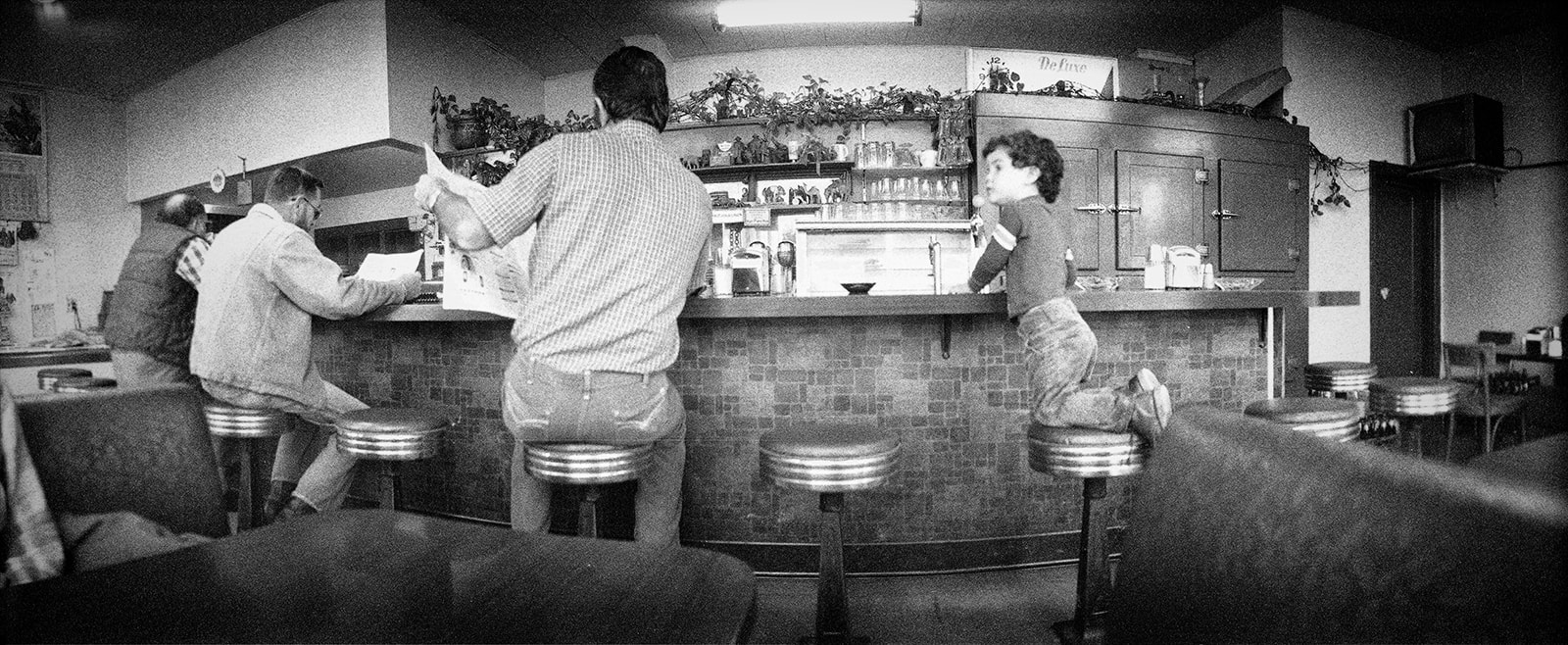
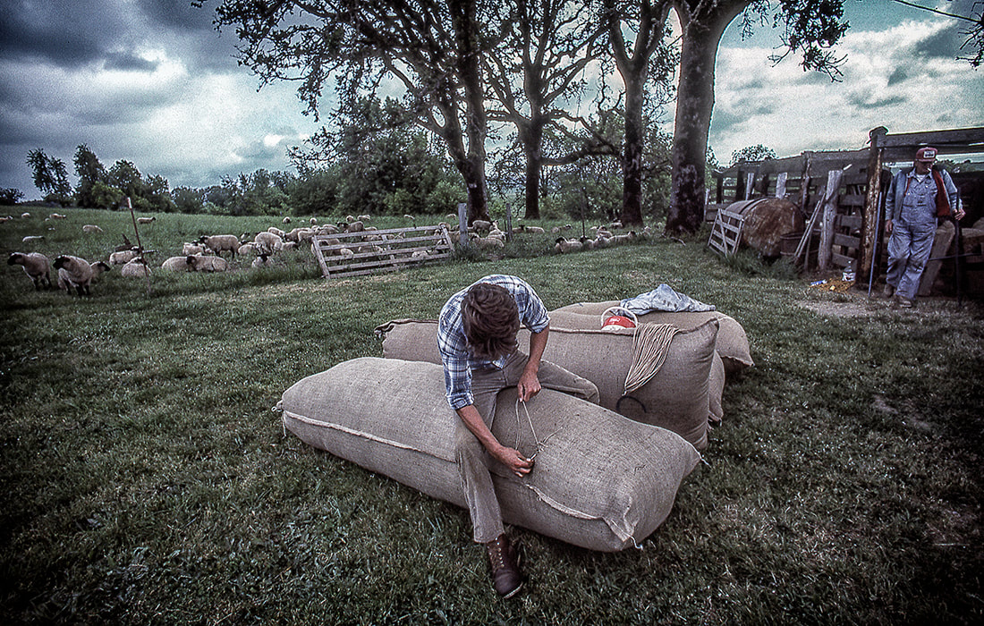
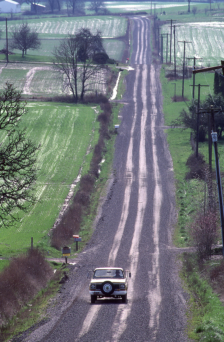
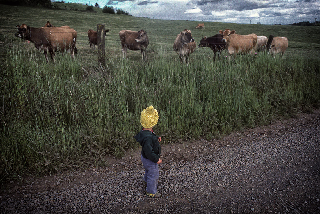
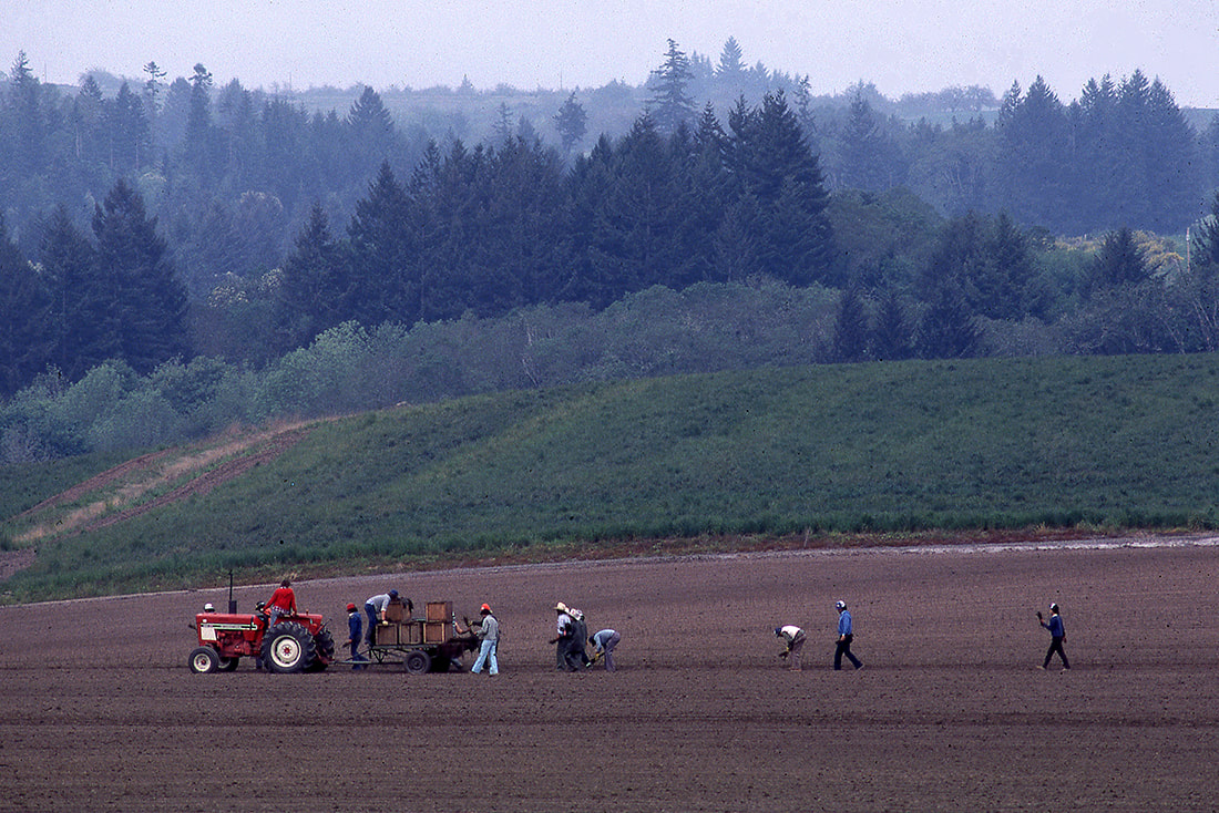
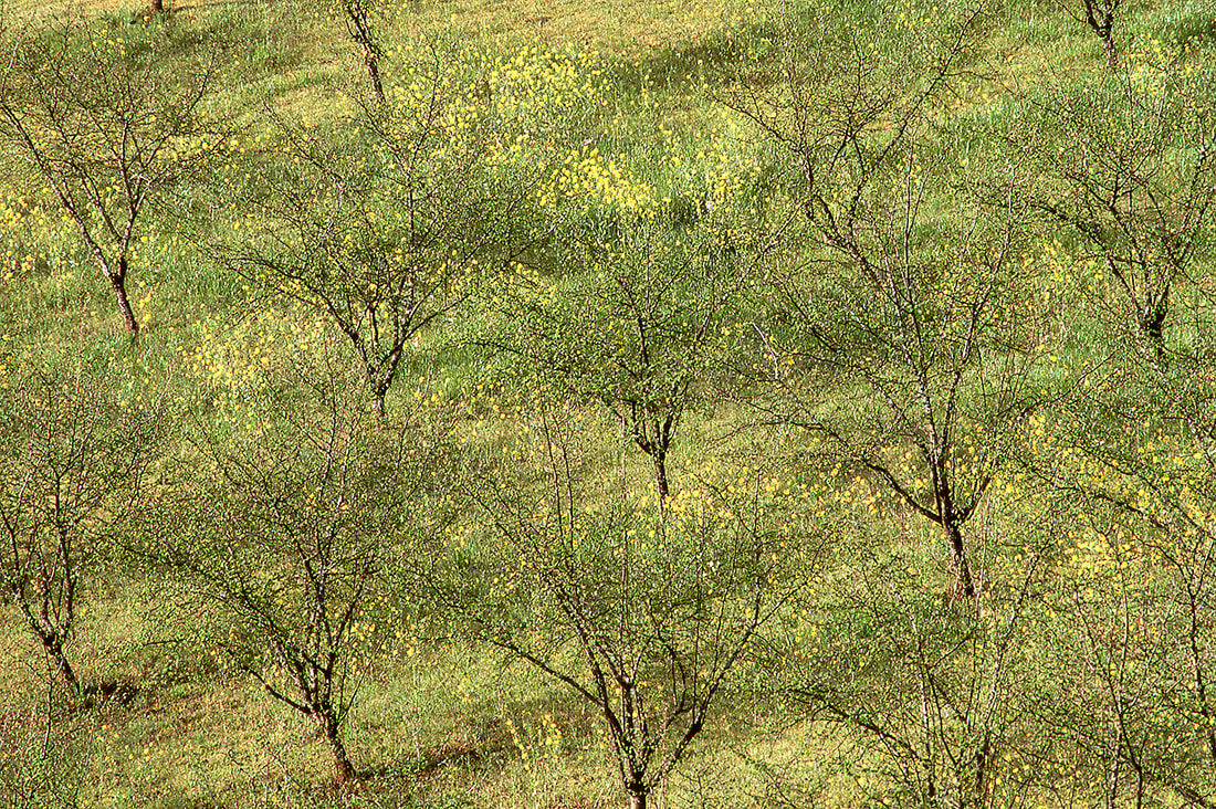
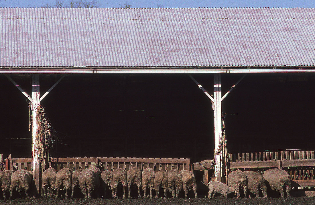
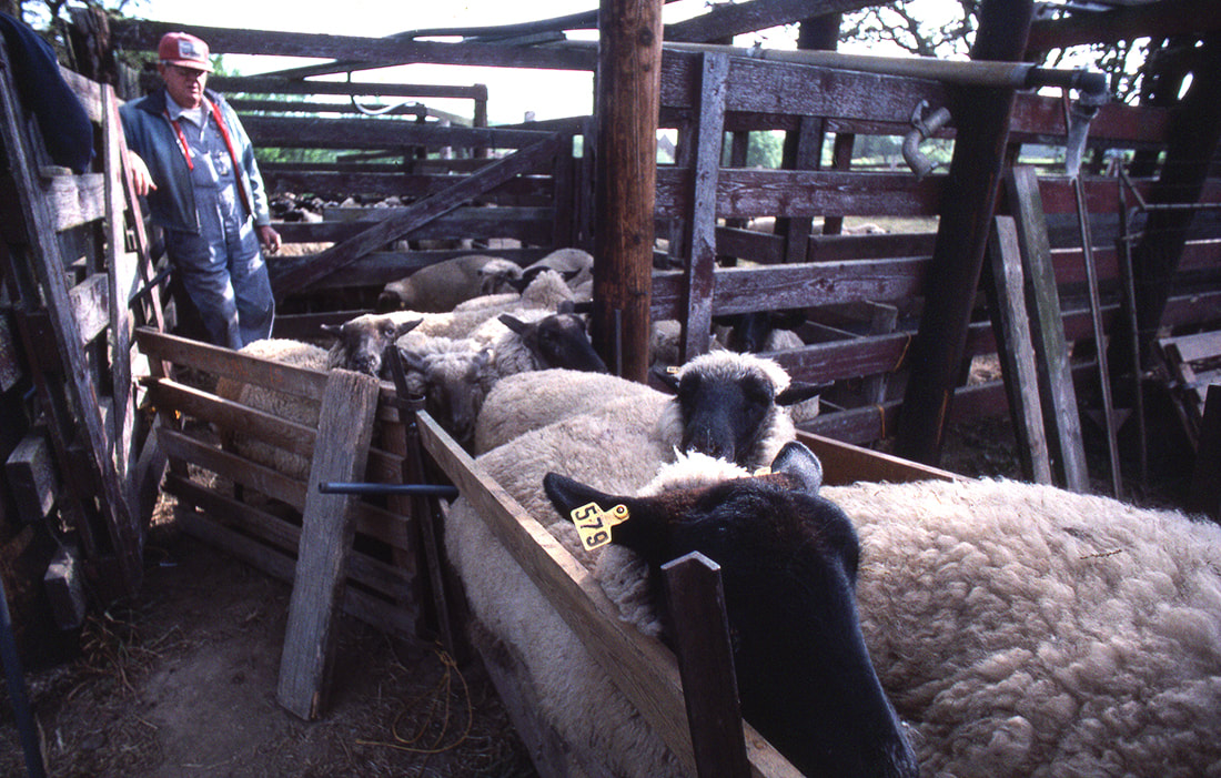
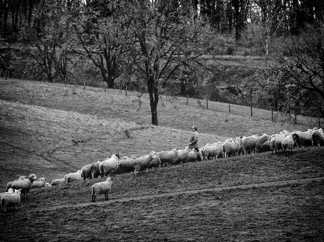
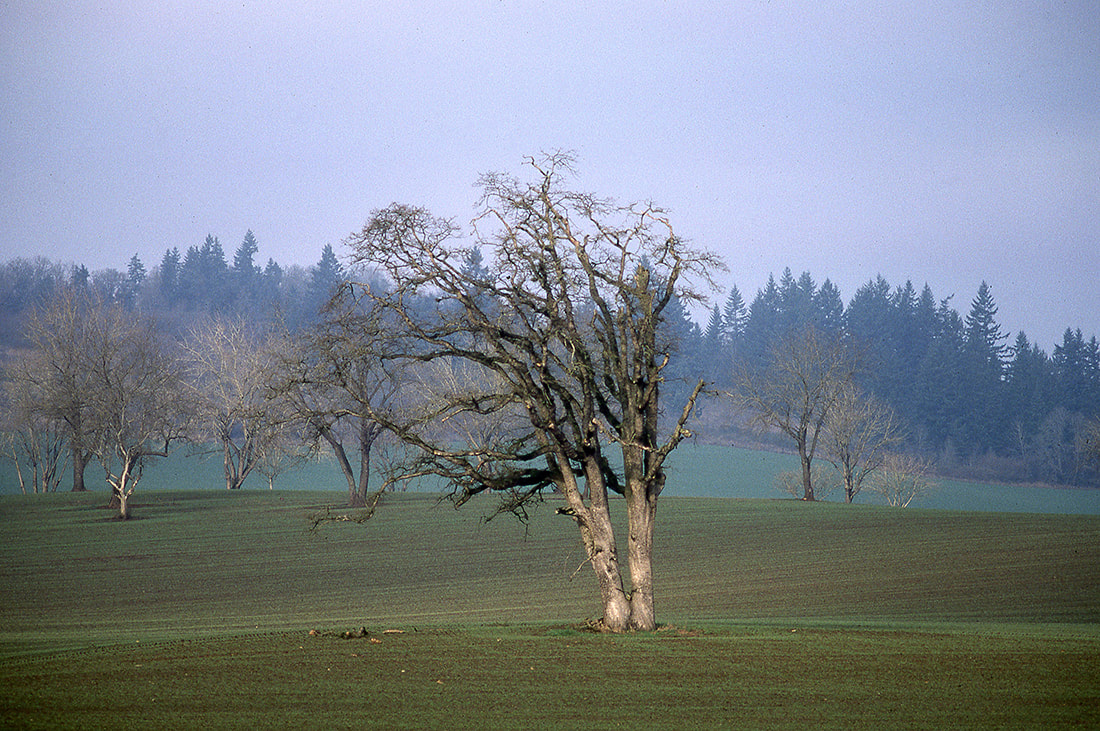
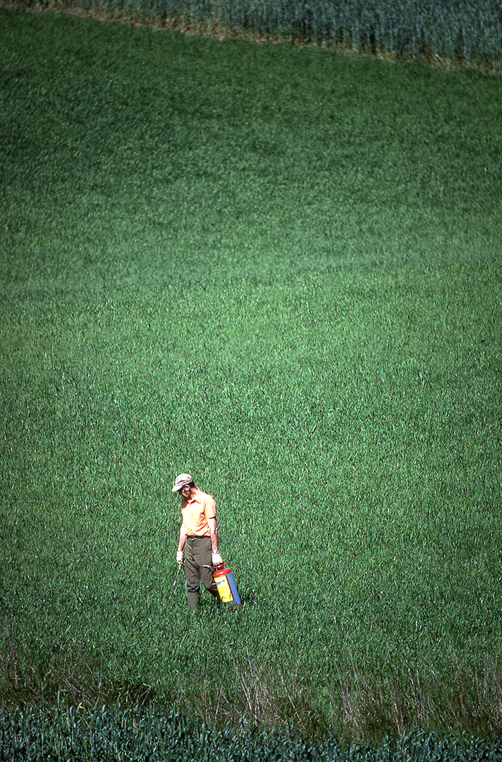
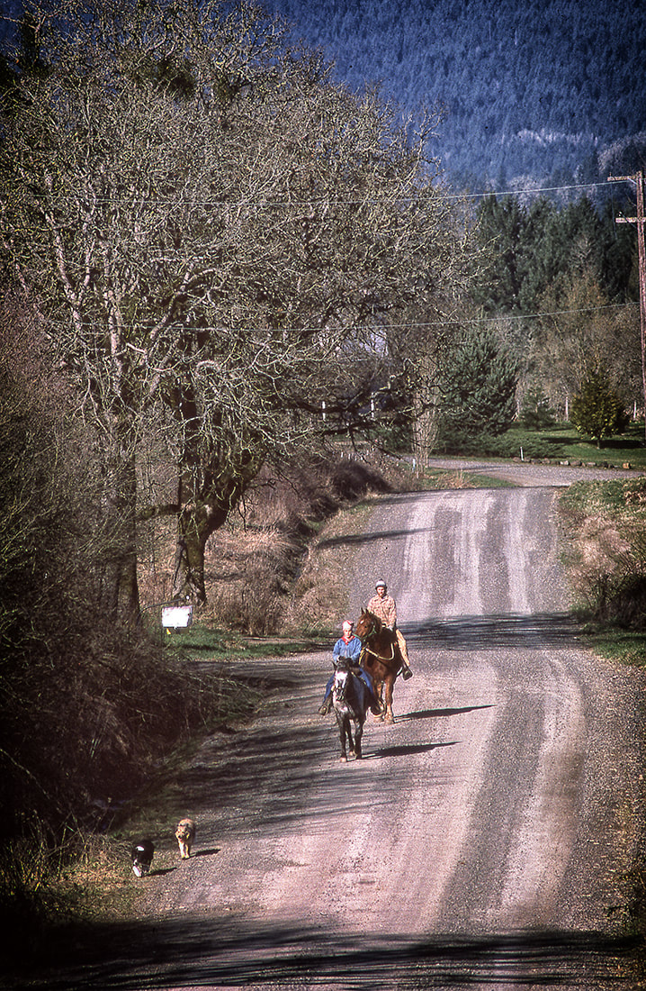
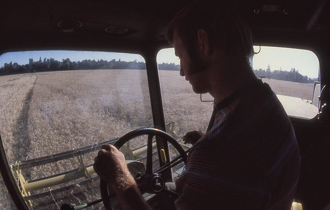
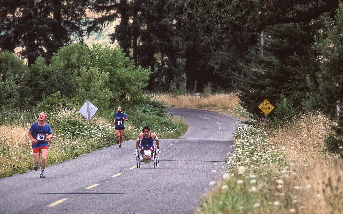
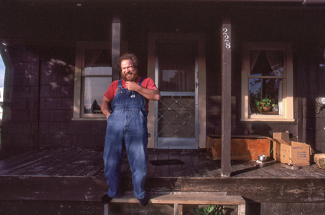
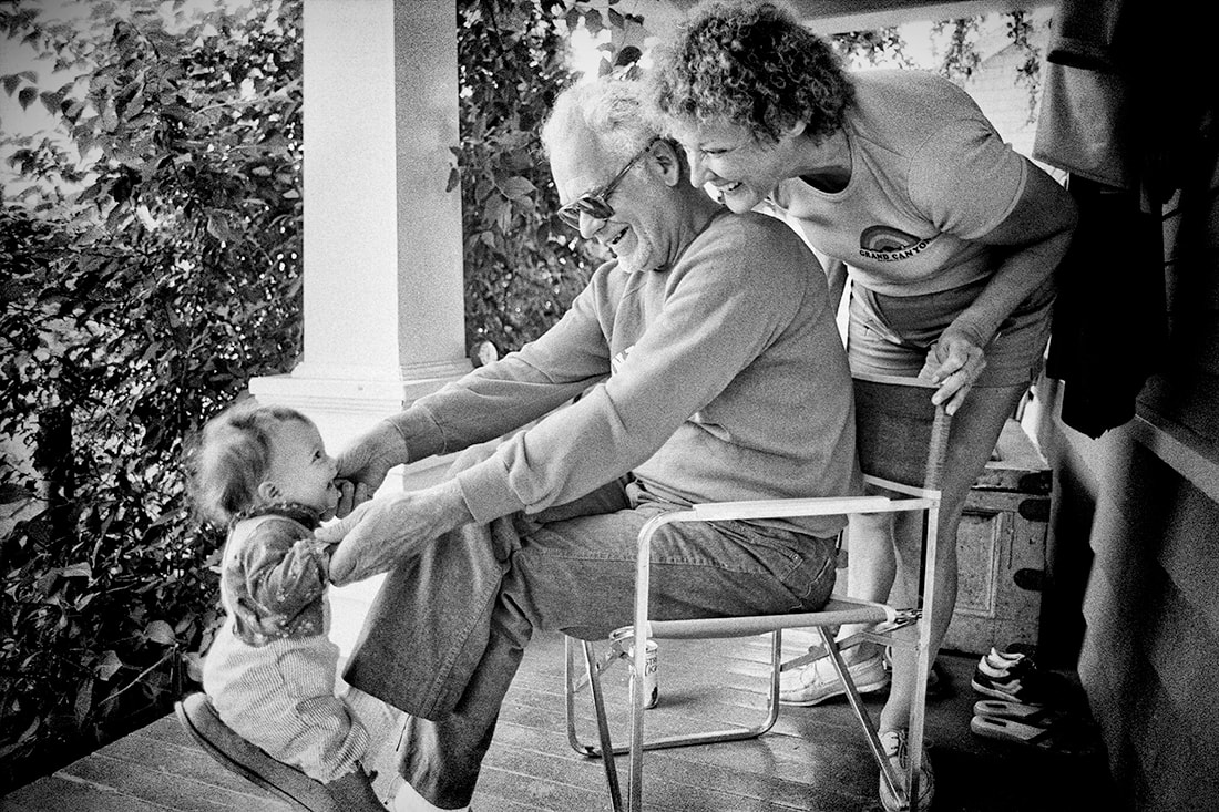
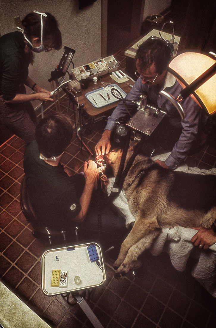
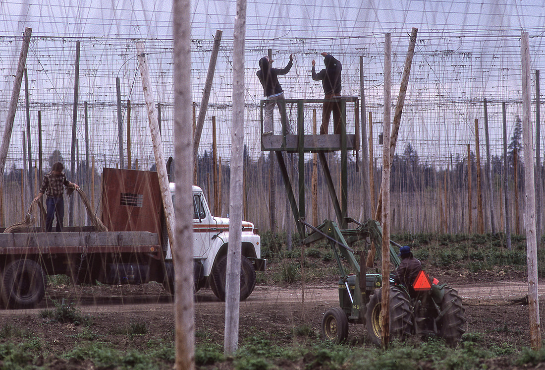
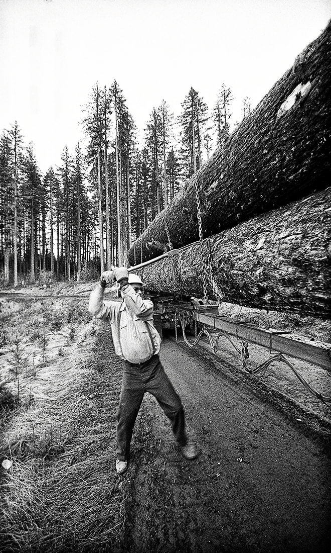
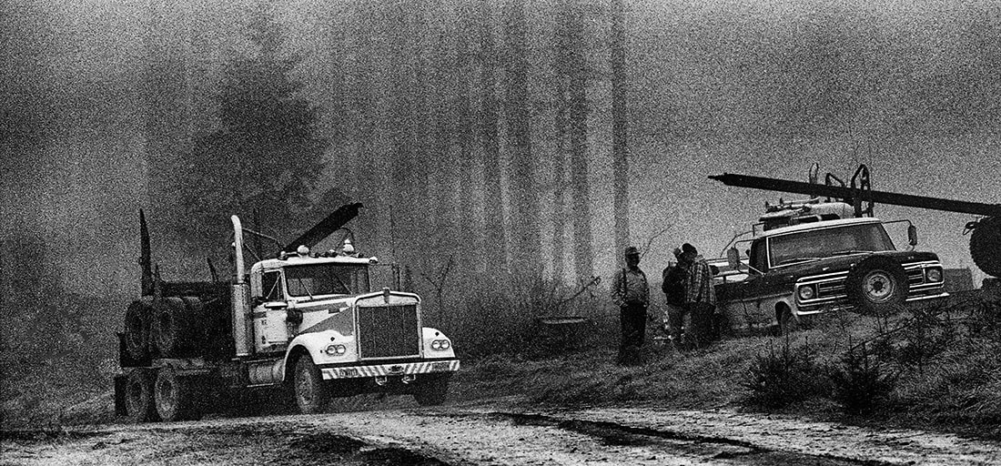
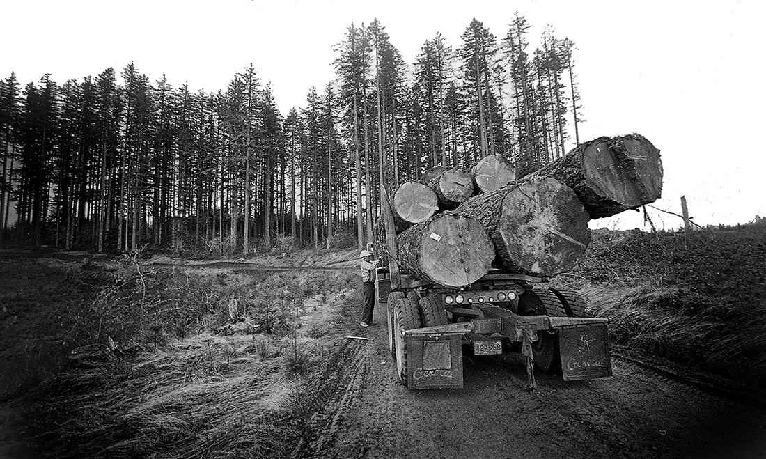
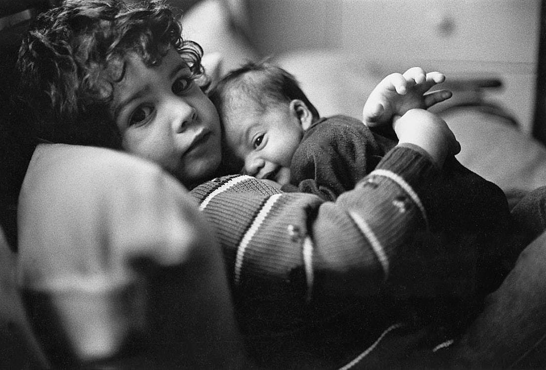
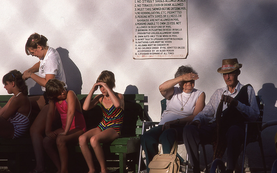
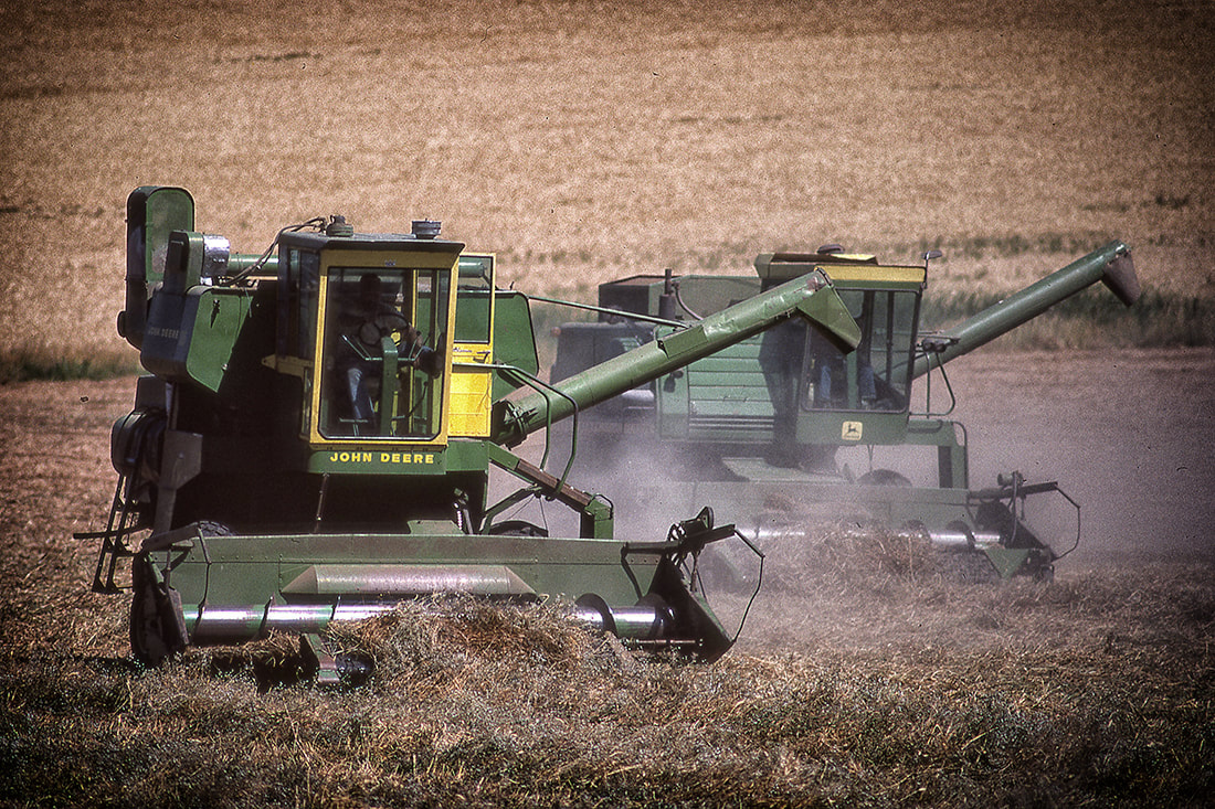
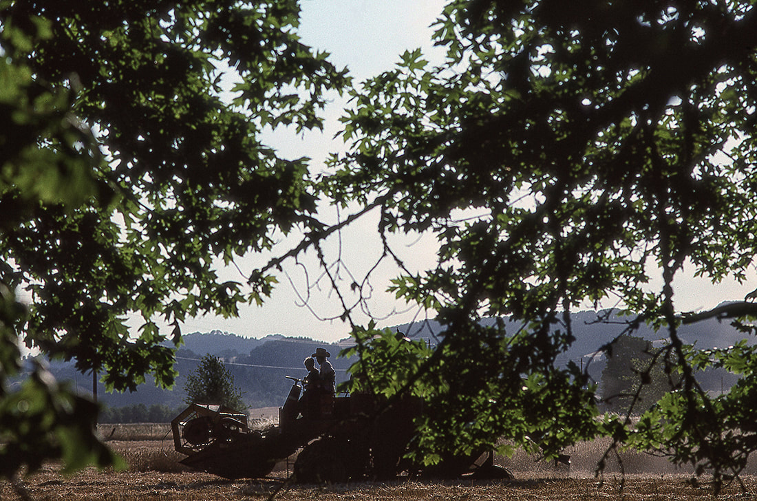
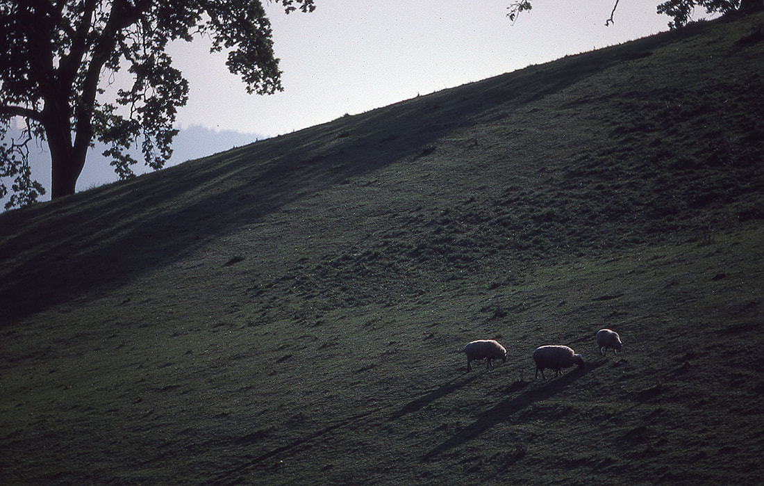
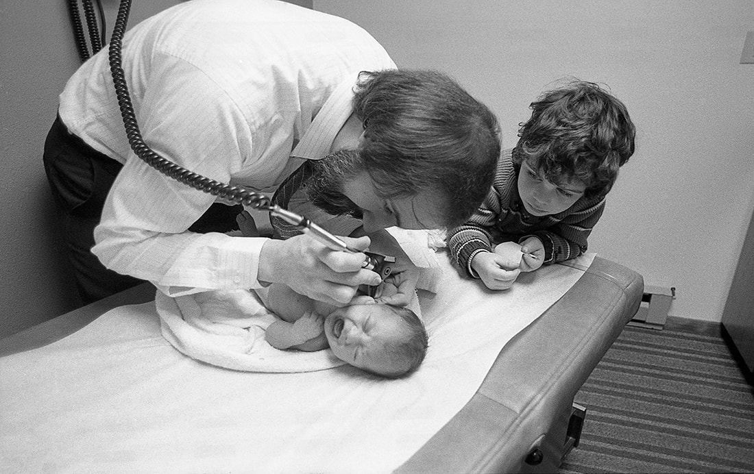
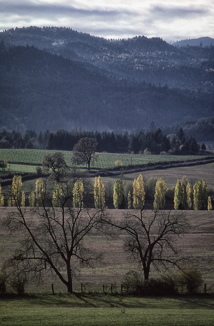
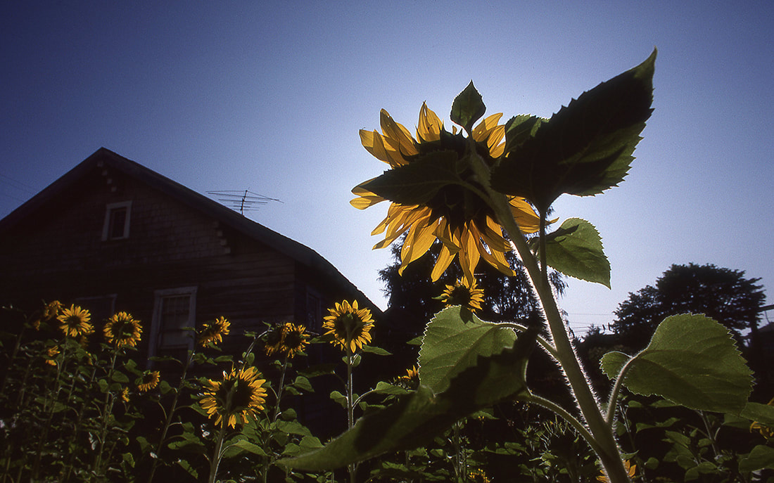
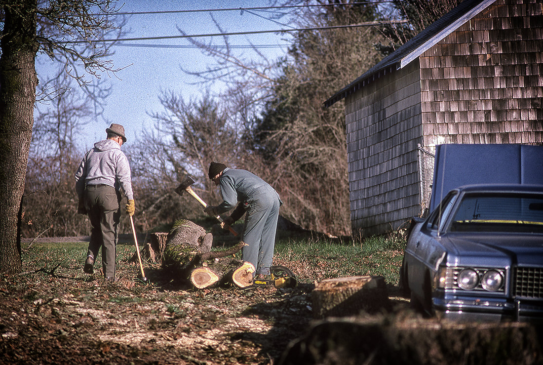
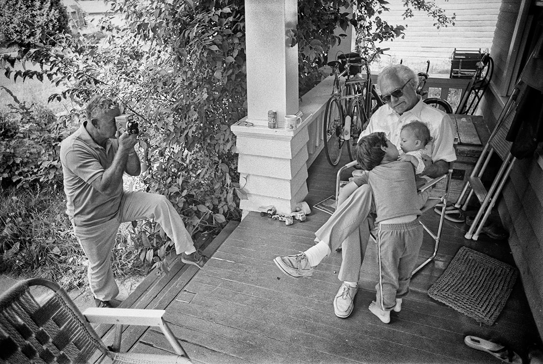
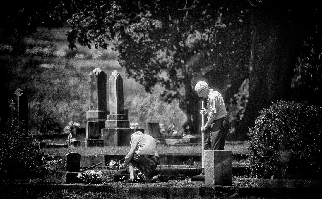
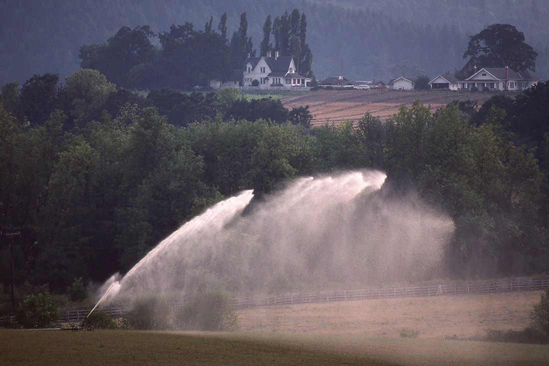
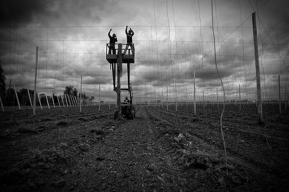
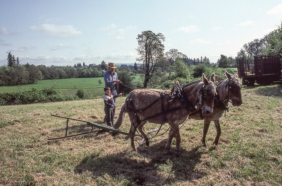
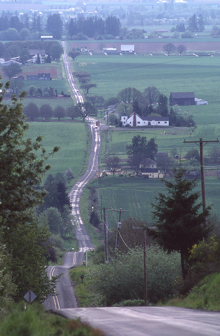
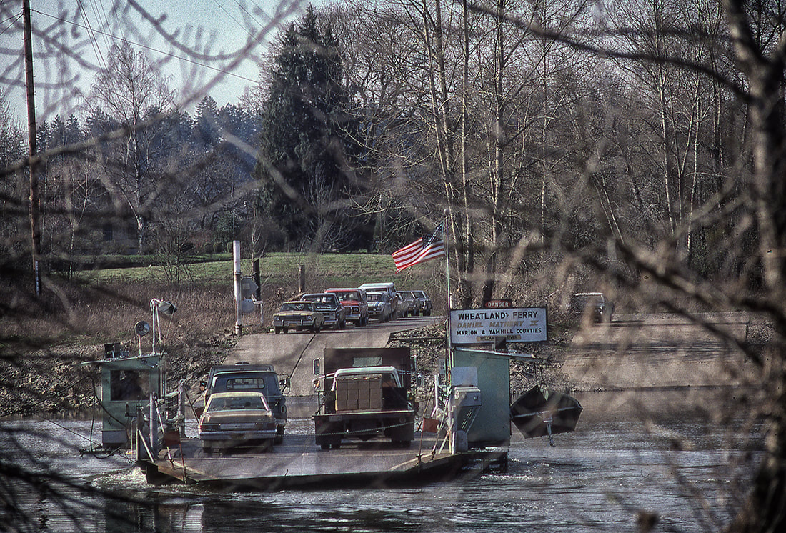
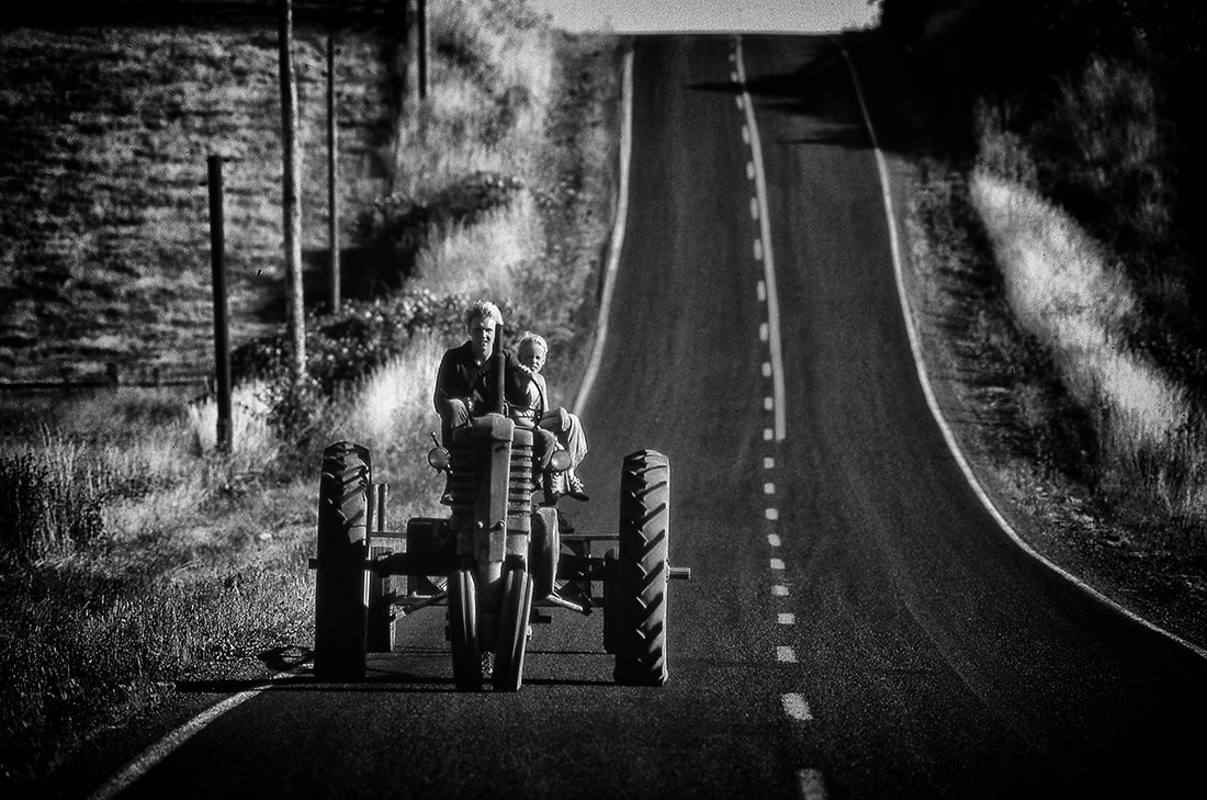
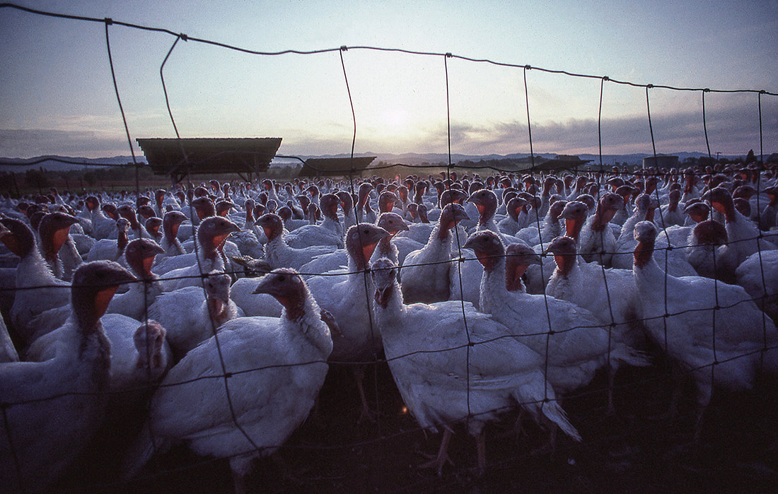
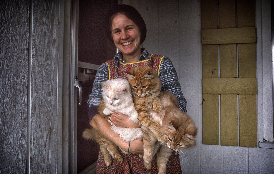
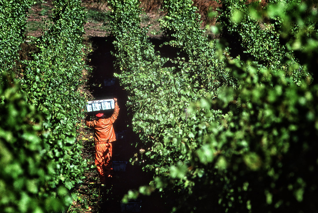
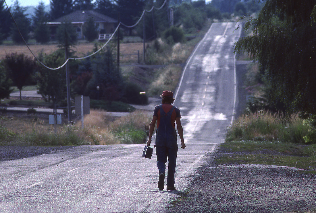
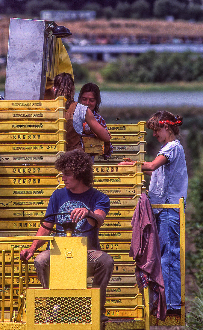
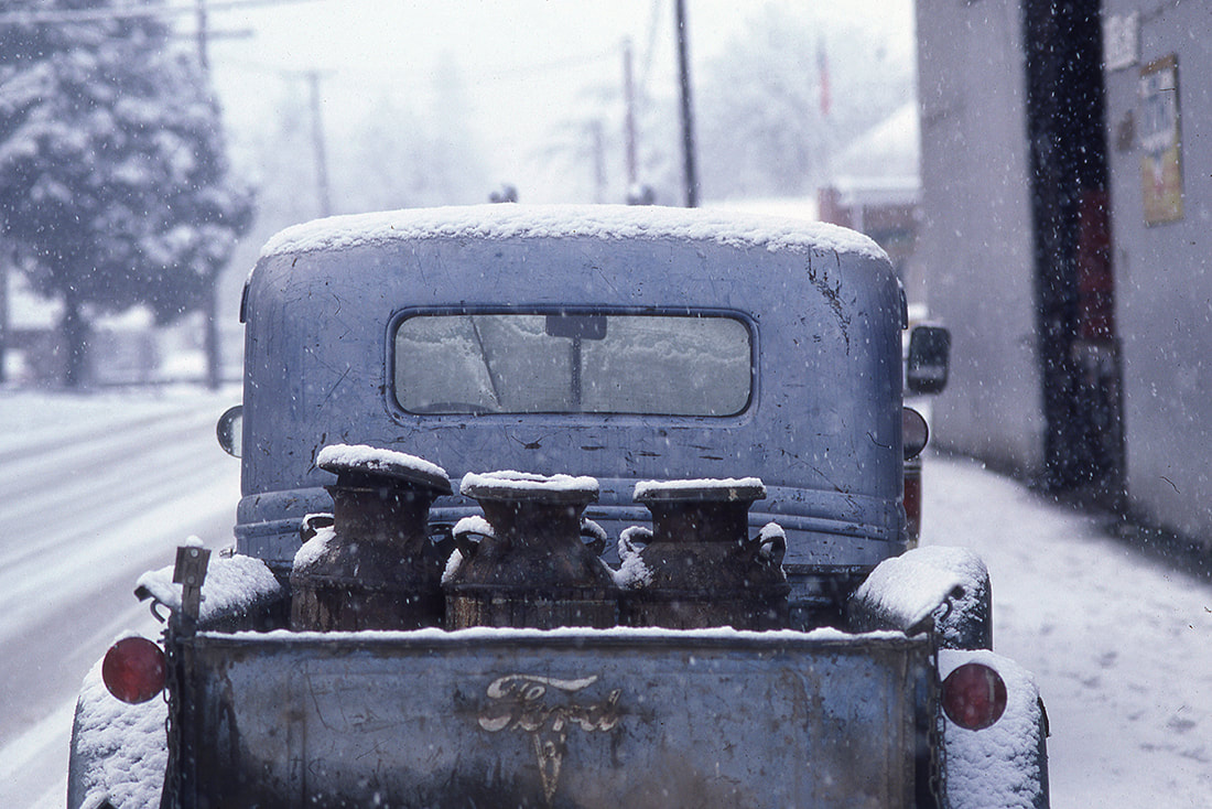
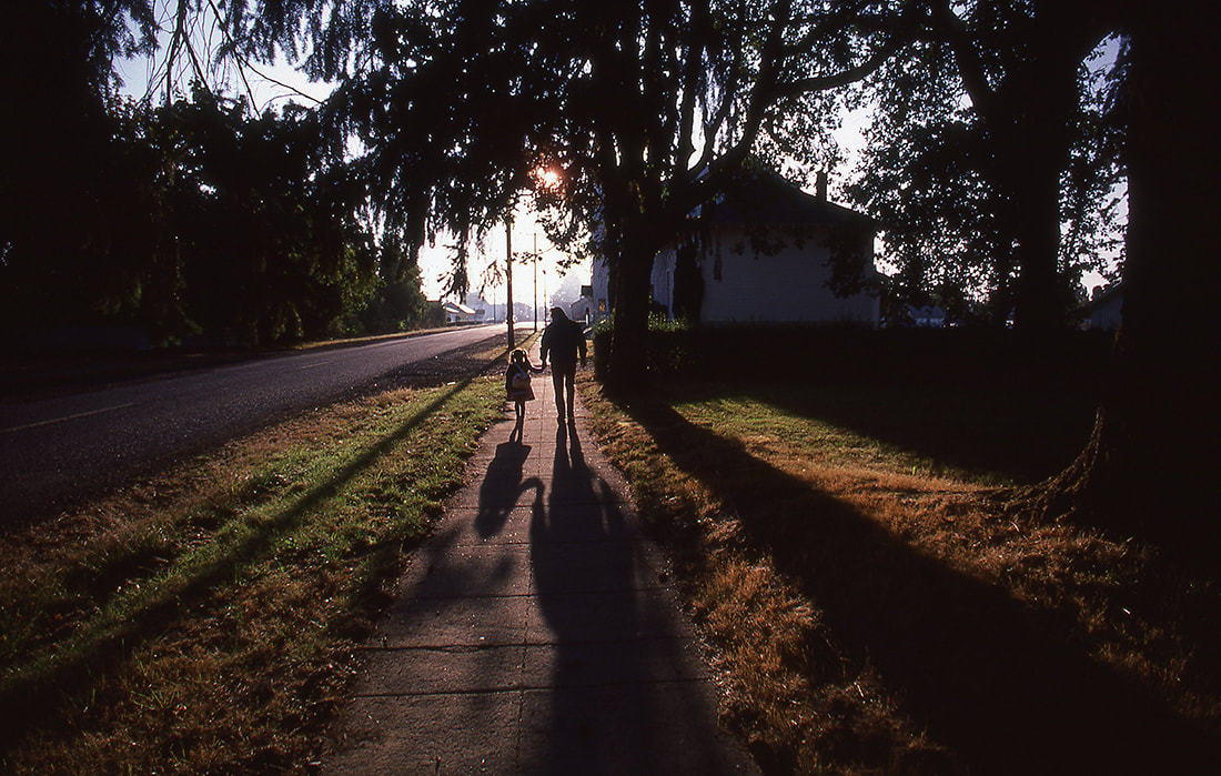
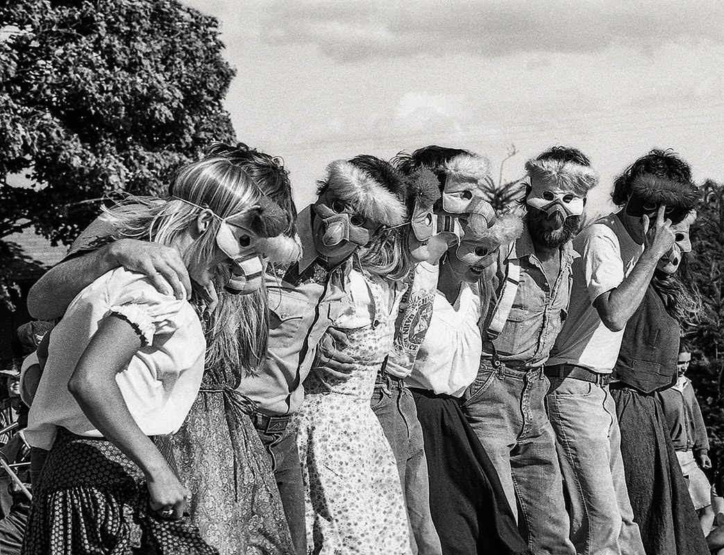
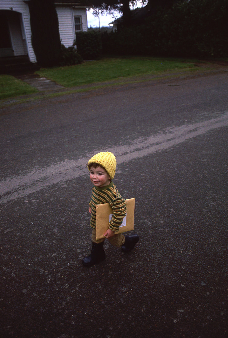
Note about transparency scans: In the heyday of magazines using color transparencies, publishers used very high-end and expensive drum scanners to scan the slides. The results were amazing. For the Carlton series I used a flat bed Epson scanner. Not ideal for reproduction since the images are slightly degraded during the scanning process and sharpening introduces some visual noise. With that said, the colors are fairly accurate and the images should give viewers and idea of the breadth of the series. All the original photos were taken with a Canon F-1 with a variety of lenses on, usually, Kodachrome slide film. As many were published and also marketed by a few well-known stock agencies, the originals were tack sharp, so please bear that in mind. I lived in Carlton, Oregon, for a few years in the early 1980s. One of my major photo essays was accepted for publication by Country Living Magazine. Many of the photos in that essay were also used by national publications such as the New York Times and the Boston Globe. Selected images were also published by Oregon Magazine and numerous advertising agencies at the time. Country Living Magazine is now published by Hearst Communications, and caters more toward an upscale audience. In the '80s, Country Living was geared for just that, people who wanted an authentic country lifestyle. The stories published were ones that "regular" folks could relate to and offer insights into what living in the country was really all about. My journalistic, real life, photos fit in nicely with the '80s version of the magazine. I had previously lived in the Napa Valley where the wine industry rules, but the amount of agriculture in the Willamette Valley, where Carlton is located, was new territory for me and I gravitated toward photographing it enthusiastically. My son, Nick, was about three at the time we moved to Carlton from Saint Helena in the Napa Valley and he would accompany me on my daily early morning and late afternoon photographic forays. During the mid-day I would turn in transparency film to be processed in McMinnville and then return to my home office to take care the the day's photo requests before heading back out in the afternoon. Nick and I travelled the back roads daily and got to know farmers well. We saw planting and harvesting and sheep shearing. We got to ride in combines and smell the freshly cut wheat. We visited farms, vineyards, grain elevators, logging operations and orchards. As the wineries became more and more popular, they became part of my photographic focus. We saw, and I photographed, ice storms, families, harvests, plantings and a lot in between. My daughter Emma was born at home in Carlton in 1984. You'll recognize a few photos of her. Some Carlton, Oregon information. The origin of Carlton's name is disputed. An ex-county commissioner claims that the name was derived from Wilson Carl, whereas A. E. Bones, postmaster at Carlton, stated in a 1925 letter that it was named for John Carl, Sr., at the request of R. R. Thompson. These men may have been part of the same family. Carlton's post office was established in 1874, with F. J. Fryer serving as its first postmaster. Actual history of Carlton, Oregon Prior to the post office inside the city of Carlton, Wilson Carl, owned the original Post Office, Stagecoach stop, and Blacksmith shop, for the area, about seven miles West of Carlton, and his home was known as Mountain House. Wilson Carl was the original postmaster. Wilson Carl traveled with Dr. Joel Knight, on the Oregon Trail, to the area, as witnessed in the diary of Amelia Stewart Knight. Wilson Carl negotiated with the railroad in Portland, Oregon, to build closer to his property. Since the original plot was over the mountain West of Carlton, it was a matter of convenience for the railroad to build where it presently is, because negotiating the mountain was not feasible. The population of Carlton expanded to become the city of Carlton, around the railroad. The city is named after Wilson Carl, and, was originally called Carl's town, and, a few other variations of his name were used before the name became Carlton. Wilson Carl began as a pioneer carpenter/builder and shoemaker who became a wealthy land owner, who built a portion of what is now Linfield College, in McMinnville, and was founder of the Republican Party in McMinnville, County Commissioner, and, at one time owned the property that the Yamhill County Courthouse presently sits on. The original post office still exists on his original homestead and plot of land, though it has since been used as a residence for his heirs and is currently unoccupied. There is further information about the name variations used for Carlton, in a former Oregon Blue Book. Carlton is in Yamhill County. The earliest known inhabitants of the area were the Yamhill (Yamhelas Indian Tribe, part of the Kalapooian family[4]) Indians, who have inhabited the area for over 8000 years. They are one of the tribes incorporated into the Confederated Tribes of the Grand Ronde. In 1857 they were forced to migrate to the Grand Ronde Indian Reservation created in Oregon's Coastal Range two years earlier. The earliest non-native settlers were employees of the various fur companies operating in Oregon Country, who started settling there around 1814. But it was the establishment of the Oregon Trail that led to significant migration to the area. Yamhill District (later county) was created on July 5, 1843, five years before the Oregon Territory was established. It was one of the original four districts created by Oregon's first Provisional Legislature, along with Twality (later Washington), Clackamas, and Champooick (later Marion) counties. The district was originally over 12,000 square miles (31,000 km2), an area that was broken up into twelve present-day counties. Lafayette, the principal trading center of the western Willamette Valley in early Oregon history, was made the county seat in 1847. The county government was later (1889) moved to McMinnville where it remains today. The Mount Hebo Air Force Station was a Cold War air defense installation from 1956 to 1980. Located next to Tillamook County, at the top of 3,154-foot (961 m) high Mount Hebo, Air Force radars operated by the 689th Radar Squadron and the 14th Missile Warning Squadron were essential parts of the nation's integrated air defenses. The large radomes protecting the radars from adverse weather effects could be seen silhouetted against the sky from many parts of Yamhill County. Although I have traveled all around the United States, and photographed a lot of agricultural-related subjects, my day-to-day immersion into the Willamtte Valley, and Carlton in particular, generated a broad range of subjects, making for a well-rounded story the Country Living Magazine photo editor appreciated. |
To contact Bob Eckert for assignments, consultations or workshops, please email [email protected]
or use the contact form on the About page
or use the contact form on the About page
